A postcode and a house number in, and what is publicly known about that address comes back: water, foundation, energy, subsidence, earthquakes — each block with its own source.


Tell us a bit about your idea, and we’ll get back to you with a clear path forward.
A postcode and a house number in, and what is publicly known about that address comes back: water, foundation, energy, subsidence, earthquakes — each block with its own source.
A house has a price. It also has a risk profile, and that half is scattered across a dozen government datasets, each with its own format, its own granularity and its own licence. Deltares knows about foundations. RVO knows about energy labels. KNMI knows about earthquakes. CBS knows what the neighbourhood is worth. None of them know about each other.
The Woningrisico API resolves a postcode and house number to one BAG address, and answers with the risk profile of the building it stands in: water depth at extreme rainfall, foundation risk (paalrot and differential settlement), energy label and CO2, area WOZ averages, flooding, subsidence, groundwater, heat, wildfire and earthquakes — with the nearest gas field named.
Every block carries its provenance: dataset, version, granularity, licence, attribution. And every block carries a status, because missing data is a fact too — OK, PARTIAL, NODATA, NO_ACTIVE_VERSION, UNAVAILABLE. A key is never simply absent. Refusals answer in one shape with a stable error code, and a 404 says which kind it is: address not found, address ambiguous (with the candidates listed), or building not found. Responses carry an ETag, so an integration can ask again cheaply. Every path is versioned.
These are national screening models. The API says something about a location, not about the condition of one particular building — and it says so in its own documentation rather than in the small print.
macOS has no touch screen support. callido touch is a small menu bar app that turns a USB touch monitor into clicks, drags, scrolling and pressure-sensitive pen input. Free and open source.
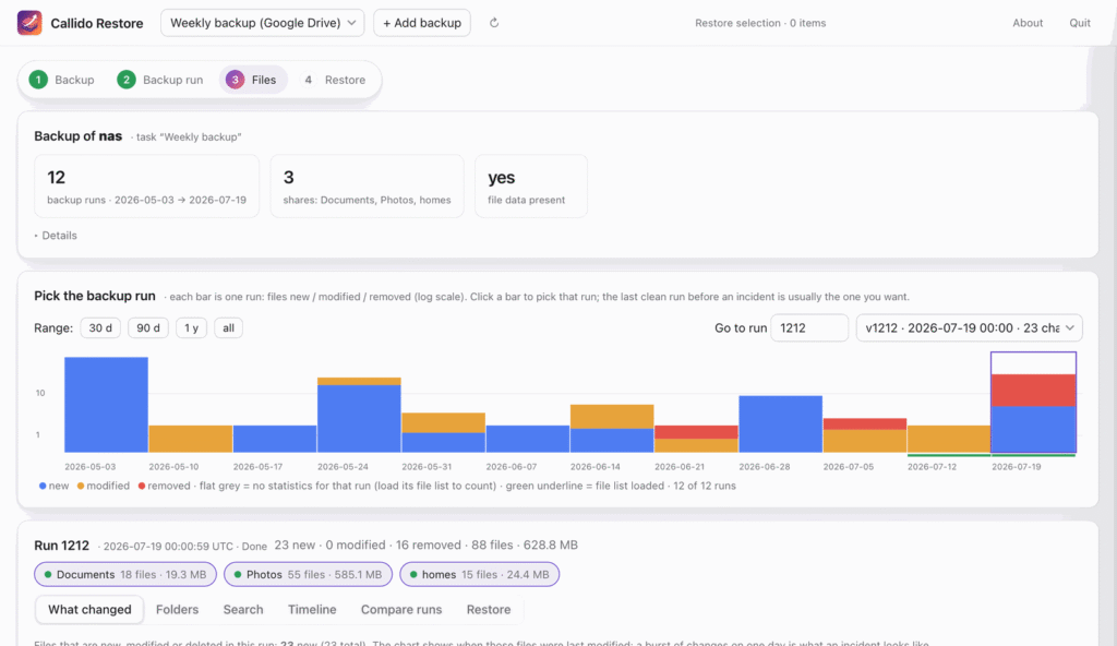
Open a Synology Hyper Backup without Hyper Backup and without a working NAS. Find the last clean run, see what changed, restore what you need. Free for macOS and Windows.

Every Dutch mortgage rate, read from the lenders’ own rate sheets. 57 lenders, checked daily, every number traceable to the document it came from.
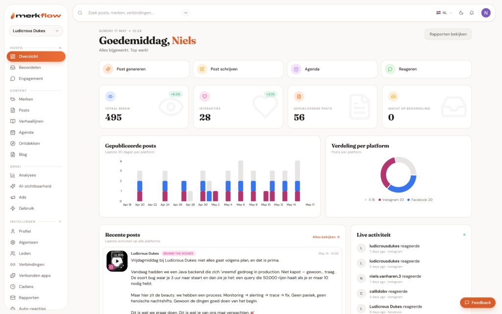
Your brand, in motion. An AI brand intelligence engine callido designed and built — on-brand social, ten minutes a week.
We use analytics cookies to see how this site is used — nothing else. Learn more